 SIGGIS GIS Conference v.1.0.1.0
Advertisement
Description
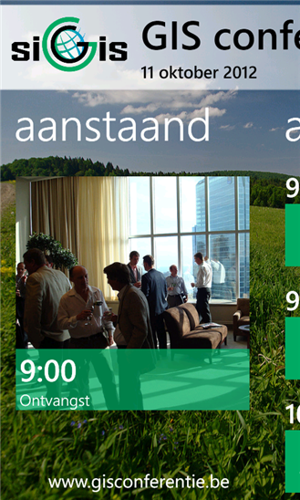
C'est l'application compagnon pour l'édition 2012 de la conférence SIG annuelle, organisée par SIGGIS NV
Pour plus d'informations, s'il vous plaît visitez www.conferencesig.be
- Rate:
- Release Date:08/26/2012
- License:Freeware
- Category:Applications
- Developer:Johan Peeters
- Downloads:292
- Size:5 Mb
- Price: Free
To free download a trial version of SIGGIS GIS Conference, click here
To visit developer homepage of SIGGIS GIS Conference, click here
Advertisement
Screen Shot
Click on a thumbnail for the larger image.
System Requirements
SIGGIS GIS Conference requires Windows Phone 7.5 or higher | video and still capture, data services, camera, HD720P (720x1280), WVGA (480x800), WXGA (768x1280) | français, Nederlands
SIGGIS GIS Conference v.1.0.1.0 Copyright
Shareware Junction periodically updates pricing and software information of SIGGIS GIS Conference v.1.0.1.0 full version from the publisher using pad file and submit from users. Software piracy is theft, Using crack, password, serial numbers, registration codes, key generators, cd key, hacks is illegal and prevent future development of SIGGIS GIS Conference v.1.0.1.0 Edition. Download links are directly from our publisher sites. Links SIGGIS GIS Conference v.1.0.1.0 from Bittorrent, mediafire.com, uploadfiles.com, hotfiles.com rapidshare.com, megaupload.com, netload.in, storage.to, depositfiles.com and other files hosting are not allowed. The download file is obtained directly from the publisher, not from any Peer to Peer file sharing applications such as Shareaza, Limewire, Kazaa, Imesh, eDonkey, eMule, Ares, BearShare, Overnet, Morpheus, BitTorrent Azureus and WinMX.
Review This Software
More SIGGIS GIS Conference Software
Advertisement


ZoneVideo Conference System
Being one of the best video conference software solutions in the industry, ZoneVideo conference provides users with a multi-level, highly effective online multimedia communication platform that has powerful application functions, stable and outstanding

Icons-Land Vista Style GIS/GPS/MAP Icon Set v.2.0
Vista Style GIS/GPS/Map Icon Set is of perfect design quality. Being represented in 7 sizes, icons can be widely used in local service applications, GPS tracking and GIS applications, and any kind of mapping applications.
Quantum GIS Tethys v.1.5-r13926-1
The Quantum GIS Tethys repository contains a lot of software from OSGeo projects. Quantum GIS Tethys and all dependencies are included, along with Python, GRASS, GDAL, etc.
My World GIS v.4. 1. 2011
My World GIS™ is a Geographic Information System (GIS) designed specifically for use in middle school through college classrooms.
FreeConference Outlook Conference v.1.01.008
FreeConference Outlook Conference Manager is a handy and easy-to-use Outlook add-in that allows you to schedule conference calls exactly the way you set up meetings right from your email client.
GIS ObjectLand v.2. 6. 2003
GIS ObjectLand is a universal Geographic Information System for Windows. Key features: - creation of vector-raster maps with arbitrary structure of layers and feature types; - creation of themes. Theme is a user presentation of a map; - control of
Quantum GIS v.1.8.0
Cross-platform and user friendly Open Source Geographic Information System (GIS). Quantum GIS (QGIS) is a user friendly Open Source Geographic Information System (GIS) that runs on Linux, Unix, Mac OSX, and Windows. QGIS supports vector, raster,
Canvas GIS Advanced (Mac) v.9.0.4
About Canvas GIS Advanced (Mac)Adds native support for Geographic Information System (GIS) data to Canvas.
Quorum Pro Call Conference Software v.2.03
Callers can connect to a conference call using either standard or VoIP lines on external telephone numbers or through an office phone system. The number of people who can join a conference call is limited only by your bandwidth.
AvisMap GIS Engine
AvisMap GIS Engine is a comprehensive SDK for the development of custom GIS applications and solutions. This SDK provides several ActiveX (OCX) controls which support Visual Basic, VB.NET, C#, Visual C++ and other ActiveX compatible programming languages,
Total GIS Converter v.1.5
Total GIS Converter is a powerful converter of GIS files. It converts AEP, GRD, ADF, E00, FLT, APR, SHP, DXF and many other GIS formats to TIFF, PNG, JPEG, BMP. Along with conversion it can scale and resize your files. Download your free copy now!
Other products of this developer Johan Peeters

Earthquakes v.1.0.0.0
This application gives you an overview of the re...ils per earthquake, such as magnitude and depth.

No Agenda Jingles v.1.2.0.0
This app comes preloaded with several of the mos...e". v1.2 adds 3 new jingles and adds some minor

Two Cups v.1.1.0.0
Met deze app kan je je bh maat berekenen. De App...in versie 1.1 -bugfixes -berekening van EU en FR